
Kingston Waterfront Walk: An Easy Route from City Hall
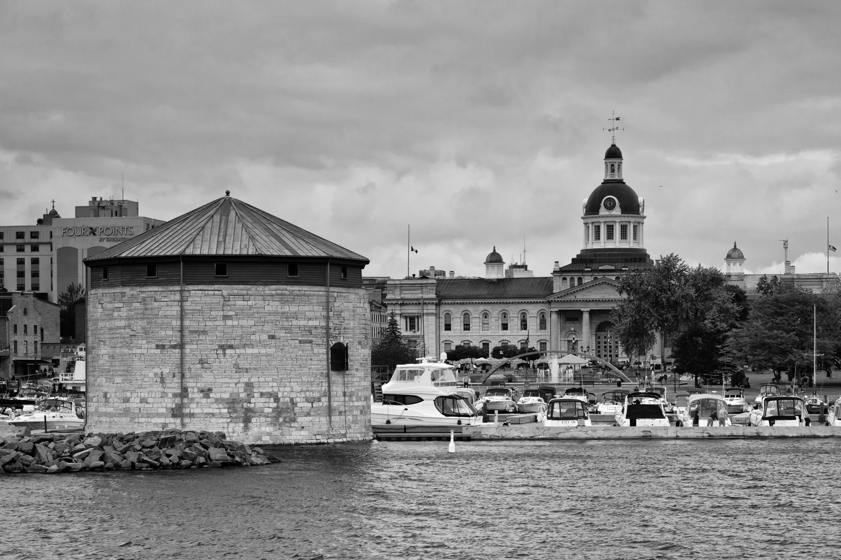
The easiest Kingston waterfront walk starts at City Hall, follows the harbour past the Great Lakes Museum, and turns back at Breakwater Park. Give it about 90 minutes to two hours if you stop to look at the boats and read the signs. If you have only half an hour, stay around Confederation Basin and Battery Park.
Kingston waterfront walk at a glance
| Time to spare | Turnaround | What fits |
|---|---|---|
| 25–40 minutes | Battery Park | City Hall, harbour views and a bench stop |
| 60–90 minutes | PumpHouse or the Great Lakes Museum | Harbour, ship and a shorter return |
| 90–120 minutes | Breakwater Park | Harbour, historic waterfront, Richardson Beach and open lake views |
These are suggested walking windows with brief stops. A museum visit, café stop or icy sidewalks will change the pace. The times cover an out-and-back from City Hall. You can also head inland on the return, but that adds crossings. Follow the linked city and trail maps for the current path and signed diversions. For a broader regional route, see the Great Lakes Waterfront Trail’s Kingston map, which continues beyond the stretch covered here.
1. Start across from City Hall in Confederation Park
Start at 216 Ontario Street, in front of Kingston City Hall and Springer Market Square. Cross Ontario Street at the signal and walk into Confederation Park. Look for the old locomotive near the Visitor Information Centre. If you’re meeting people arriving from different hotels, the locomotive is an easy landmark to share.
Follow the paved public edge of Confederation Basin. The stone tower out in the harbour is Shoal Tower, part of Kingston’s historic defences. You’ll get a clearer view from the open side of the basin. Keep to public paths around the marina. In autumn or early spring, expect a more exposed walk once you leave the shelter of the buildings.
2. Go south to Battery Park and the Great Lakes Museum
Head toward Battery Park and then the lower end of Gore Street. Use Ontario Street if a shoreline shortcut is signed closed or blocked. In Battery Park, take a few minutes to look across the water. If you’re walking with a small child or someone who tires easily, this is a natural turnaround. You’ll still have seen the working harbour, the tower and a quieter stretch away from the market square.
Continue to the Great Lakes Museum at 55 Ontario Street. Watch for the S.S. Keewatin, the passenger steamship at the historic dry dock. Gallery admission and ship tours are separate, with different schedules. The museum lists a temporary gallery closure November 16–28, 2026, with reopening planned November 29. You can still make this the turnaround for an exterior walk if the surrounding public route is open. Check the museum page before planning a visit inside.
3. Continue past the PumpHouse to the open lake
Continue toward the PumpHouse, the brick former waterworks building at 23 Ontario Street. Then follow the public waterfront route past An Gorta Mor Park. The Celtic cross commemorates Irish famine migrants and the Kingstonians who cared for them. Give it a few minutes before continuing. This section is worth keeping even if you skip both museum interiors.
The path reaches Richardson Beach and Macdonald Park, with Murney Tower and the Newlands Pavilion as landmarks. A short paved stretch beyond them leads to the Breakwater Park area. Follow current signs around the hospital frontage and any temporary diversions. Use the local waterfront trail guide to orient yourself at the turnoffs. If you’re following this route in reverse, watch for the lower Ontario Street approach near the PumpHouse.
4. Turn around at Breakwater Park
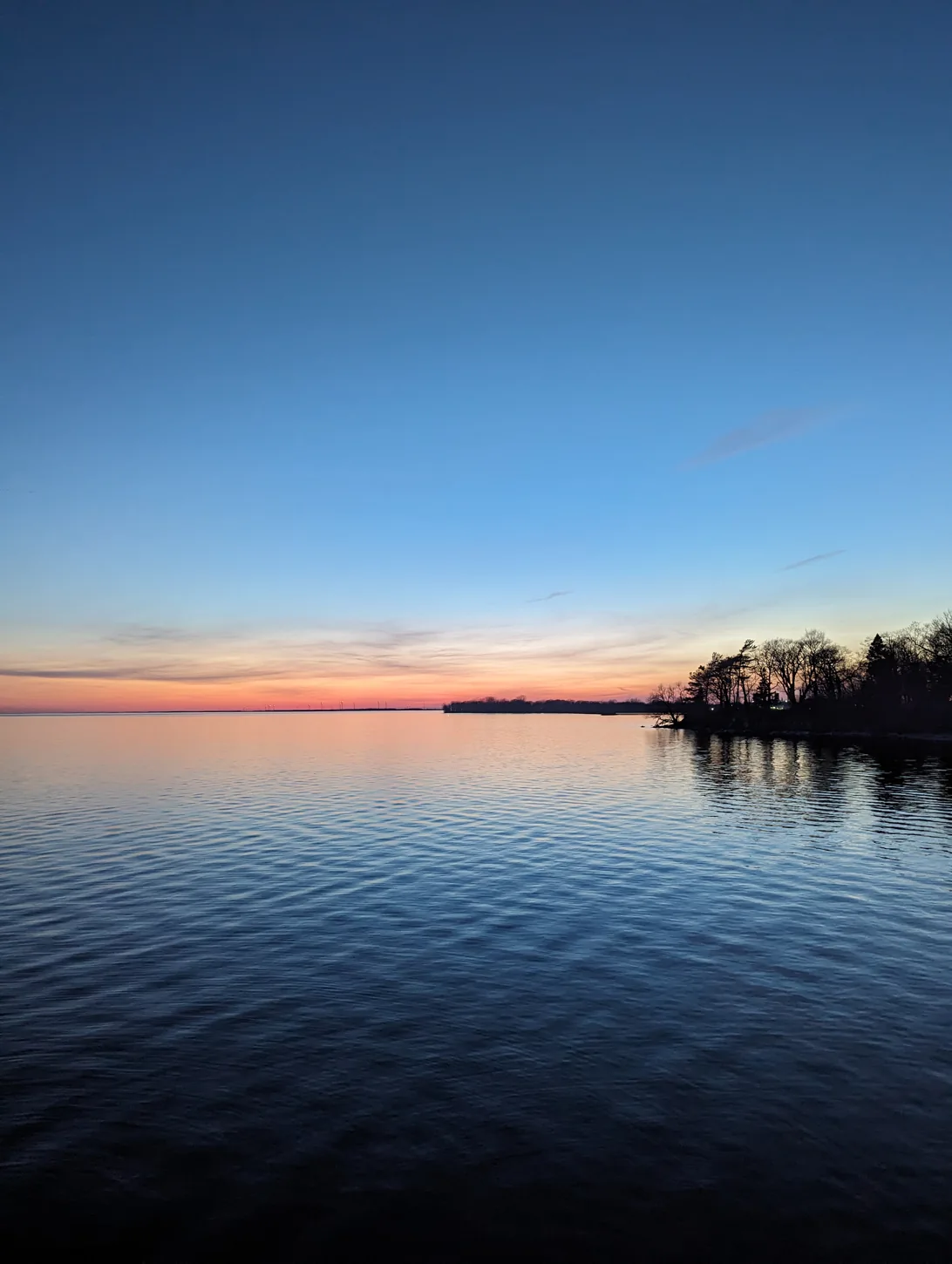
At Breakwater Park, you can look out over the open lake without adding much distance. The Gord Edgar Downie Pier is part of the park, but the walk works from shore. Check park signs for access or water advisories. When it’s windy, a short look across the lake can be plenty. To return, retrace the shoreline or head inland via the public streets around Queen’s and City Park.
If you’ve saved lunch for the end, return to lower Princess Street. At Pan Chancho, 44 Princess Street, a soup and sandwich from the prepared-food counter gives you a quick option before a train or drive. In dry weather, take coffee and a pastry to the park. If you want a warm sit-down meal, check the café’s hours for your day.
A shorter Kingston waterfront walk
For 25–40 minutes, start at the locomotive, make a lap of the public side of the basin, continue to Battery Park and turn back. If you need a seat or a warm break, keep both legs close to the Visitor Information Centre and the cafés on Princess Street. You can add Springer Market Square on the way back without extending the lakeside portion.
If rain starts before you reach Battery Park, take Ontario Street back downtown. Check the Great Lakes Museum’s opening hours or the Screening Room’s listings for a warm backup at 120 Princess Street. A windy day is also a good time to trade Breakwater Park for the architecture around City Park and the lower streets of Sydenham Ward. Choose the route based on the conditions you find at the harbour.
Parking, washrooms and accessibility
Driving in: Use the city parking map before you leave and look for a legal space near Ontario or Brock Street. Read the time limit on arrival. The city lists construction updates separately. If you’re paying for parking and visiting the museum, give yourself enough time to get back to your space after the tour.
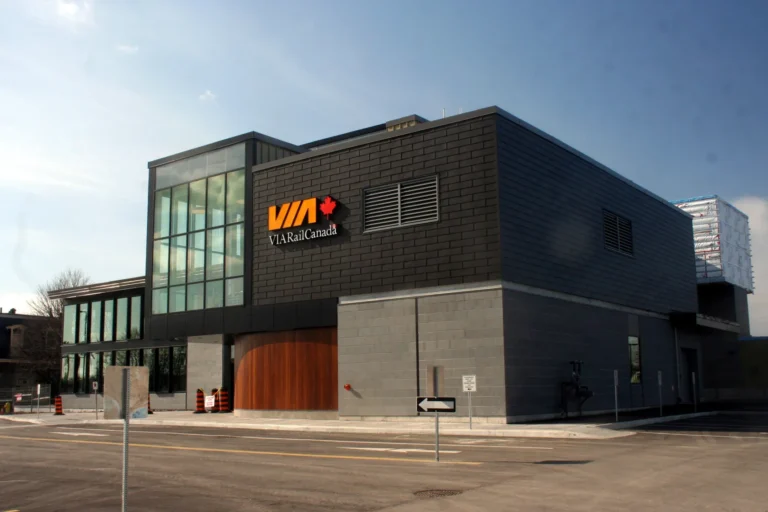
Arriving by train: The VIA station is outside the core. Take Kingston Transit Route 2 to downtown or use a taxi. Check the exact departure and direction in both directions. The two-day Kingston itinerary shows how to get from the station and how to build this walk into a weekend. The Kingston lodging guide can help you pick a room near the starting point.
Path and facilities: The harbour’s main pedestrian paths are paved, but the waterfront includes bridges, curb transitions and occasional detours. Stay on the main public paths and check surface conditions after freezing rain. Confirm open washrooms, exact entrances and any needed accessible facilities with the City of Kingston’s parks directory before relying on a stop. For a shorter outing, choose the basin and Battery Park and leave the longer section optional.
If you’re choosing between the harbour and a full historic-site visit, see the Fort Henry visitor guide. See the Kingston Travel Guide to pair the waterfront with a museum or campus walk. The Ontario Travel Guide has more walks and weekend ideas.
Kingston waterfront walk FAQs
Where does the Kingston waterfront walk start?
Start in Confederation Park across Ontario Street from City Hall. The locomotive near the Visitor Information Centre is an easy meeting point.
How long does it take to walk from City Hall to Breakwater Park and back?
Allow roughly 90 minutes to two hours for a relaxed round trip with short outdoor stops. A museum or lunch stop needs extra time.
Is the Kingston waterfront walk free?
The public harbour paths and parks on this route are free to walk. Parking, museum admission and ship tours can cost extra.
What is the shortest version of the walk?
Walk the public edge of Confederation Basin to Battery Park and back. It takes about 25 to 40 minutes with short stops.
Can you do this walk in winter?
Yes, when the public sidewalks and paths are clear. Keep to the harbour in strong winds or icy conditions, and confirm that any washroom or indoor stop you need is open.
About this guide
Edited by Shiva Reddy, Exploring In Canada. Planning details checked November 12, 2026 against operator and municipal information linked above. Times and costs can change. Send us a correction if a detail has changed.
Photo credits
- Confederation Basin, Kingston by Benson Kua · CC BY-SA 2.0 · resized and converted to WebP.
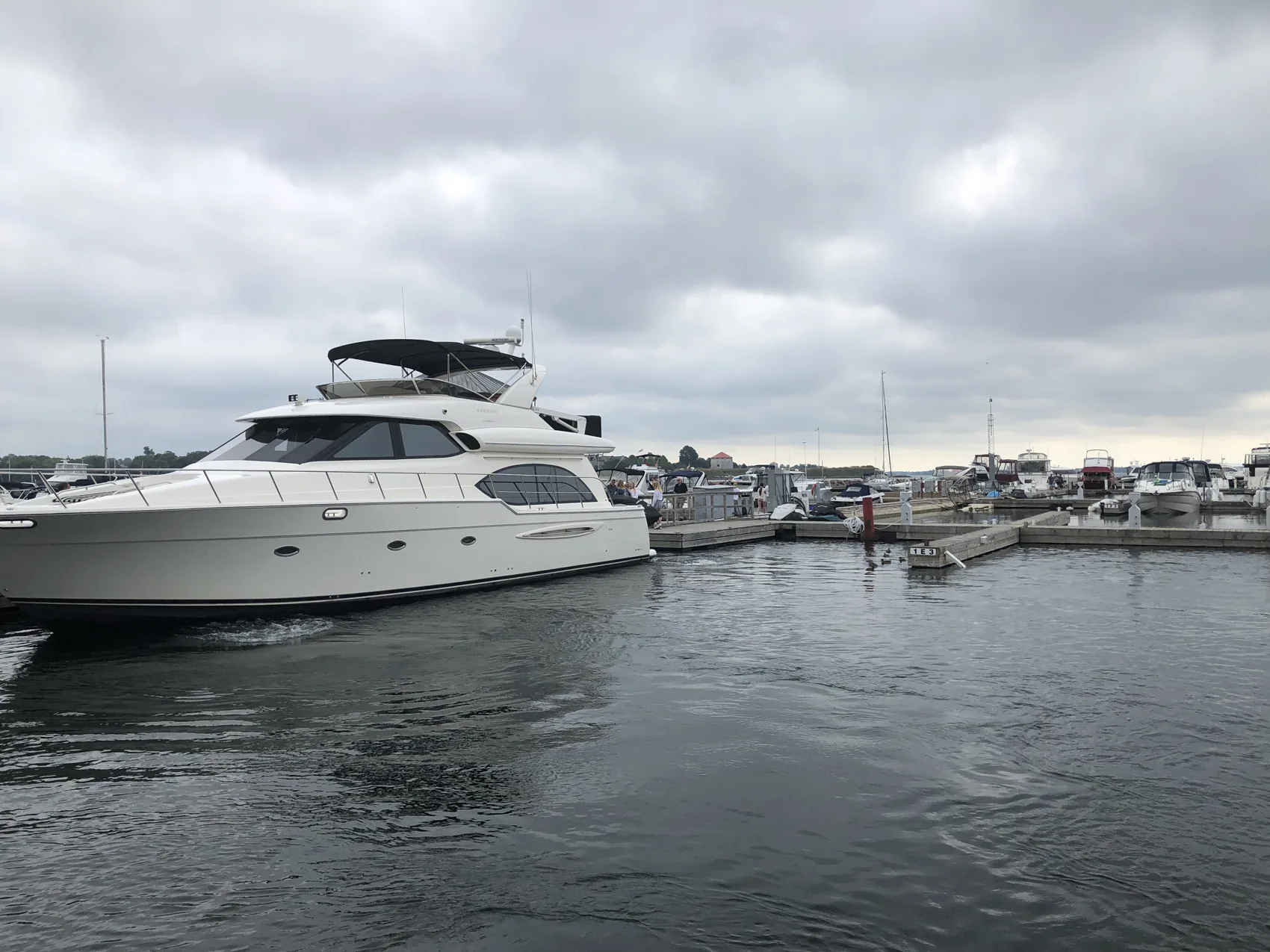
- Kingston waterfront marina by Ross Dunn · CC BY-SA 2.0 · resized and converted to WebP.
- Lake Ontario shore in Kingston by Takipoint123 · CC BY-SA 4.0 · resized and converted to WebP.



2 Comments